Over the centuries there have been many ferry landings along the Niagara River. Some were built by local merchants and some as government licenced landing points.
The longest operating ferry dock was here, near the foot of present-day Bertie . . . — — Map (db m75876) HM
On the night of 12 August 1814, as a prelude to a British attack on Fort Erie, an expedition was mounted against three armed American schooners anchored off the fort. Captain Alexander Dobbs, R.N., embarked with 70 seamen and marines in six batteaux . . . — — Map (db m48913) HM
The border between Canada and the United States of America has witnessed many migrations of people. At two times, however, the migration was primarily from south to north. That was in the troubled days just prior to the American Revolutionary War . . . — — Map (db m75851) HM
Three fortifications occupied this site. The first (1764-1779) and second (c. 1783-1803), located at lower levels, were abandoned when ice and water inundated the works. The third Fort Erie, built between 1805 and 1808, was repaired in January 1814 . . . — — Map (db m48912) HM
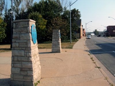
Throughout the 1800s there were many ferry landings competing for business along the Niagara River. The map below is a compilation of some of these locations.
Ferry leases were granted to:
Col. John Warren Sr.,
John Warren Jr.,
Nelson . . . — — Map (db m75877) HM
[Text on the base of the Cairn];
Here are buried
150 British Officers and Men
Who fell in the attack on Fort Erie
On the 26th day of August, 1814, and three
of the defenders, men of the United States
Infantry, whose remains . . . — — Map (db m54139) HM
From around 1830 to 1860, thousands of freedom seekers used the Underground Railroad to reach sanctuary in Canada - the “promised land”. Many crossed the Niagara River from the United State to Fort Erie, including Josiah Henson and his . . . — — Map (db m75878) HM
In an effort to regain the initiative lost at Queenston, the Americans planned a general invasion for 28 November 1812. Before dawn advance parties crossed the Niagara River to cut communications between Fort Erie and Chippawa and to silence the . . . — — Map (db m49049) HM